Prison Kiwandani
Kilifi County pilot site
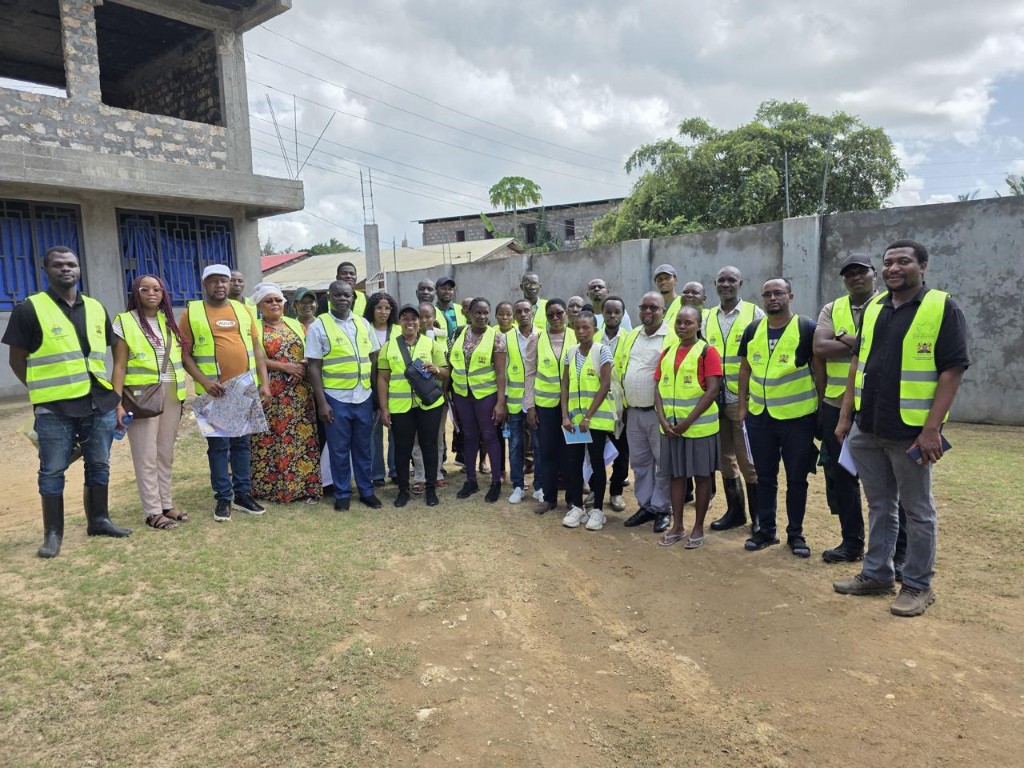
Site visit and field coordination
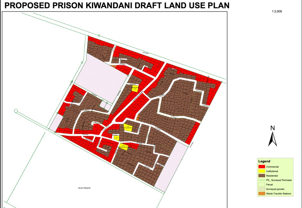
Draft land use plan (1:2,000)
Prison Kiwandani in Kilifi County is a KISRP pilot where structured planning, land-use zoning, and settlement diagnostics come together with county systems—so that tenure, services, and upgrading options can be discussed with residents and partners on a clear technical basis.
Prison Kiwandani in Kilifi County
The Prison Kiwandani pilot sits within Kilifi County’s urban and institutional context, adjacent to areas that include Kilifi Prison and neighbouring communities. KISRP uses this site to demonstrate how informal and dense settlement areas can be described through surveys, GIS, and participatory planning—without losing sight of security, access, and service delivery.
Work is coordinated with Kilifi County and national programme structures so that local plans can align with county spatial frameworks, environmental requirements, and investment sequencing.
What the programme is doing on site
Activities include community and stakeholder engagement, field verification, and preparation of technical drawings that translate ground conditions into maps everyone can discuss. Site visits—such as the coordination shown in programme photography—help align teams around the same facts before decisions are taken.
Outputs are intended to support dialogue on tenure pathways, infrastructure priorities, and how upgrading can improve safety, health, and livelihoods over time.
Land use in the draft plan
The proposed draft land use plan (scale 1:2,000) organises the surveyed area into a network of roads and small parcels with distinct zoning. Residential use (brown) forms the bulk of the interior blocks, reflecting the need for adequate housing plots within a compact layout.
Commercial parcels (red) are placed along the wider corridors—particularly the 20 m and 12 m roads—so that shops and services can sit where movement and visibility are strongest, while 9 m roads provide access inside residential super-blocks.
Institutions, services, and context
Institutional zones (yellow) reserve space for social infrastructure—for example proposed schools and an Early Childhood Development (ECD) facility—so that education and childcare are embedded in the plan rather than added as an afterthought.
Symbols such as waste transfer stations (orange hatched) point to how solid waste could be managed at neighbourhood scale. Large surveyed or buffer areas and the label Kilifi Prison remind readers that the plan must be read alongside institutional land, security considerations, and county approvals—not as a final cadastral outcome until statutory processes are completed.
How to read the maps on this page
The gallery at the top of this page includes the site visit image and the draft land use sheet. Together they connect “people in the place” with the technical zoning diagram. A companion existing structures map (also on the Planning maps page) shows today’s building footprints and surveyed perimeter for comparison.
For full-size views and line-by-line explainers, open the Planning maps section. All captions and legal descriptions should be confirmed by your communications and county planning teams before public circulation.
The gallery illustrates workshops, field coordination, and—where included—planning maps for Prison Kiwandani. Captions, map legends, and page copy should be finalised with your communications and county planning teams before wider publication.